| 11 of 12 | Jeff Teel's Trip 2012 |
Jeff’s Road Trip Report
|
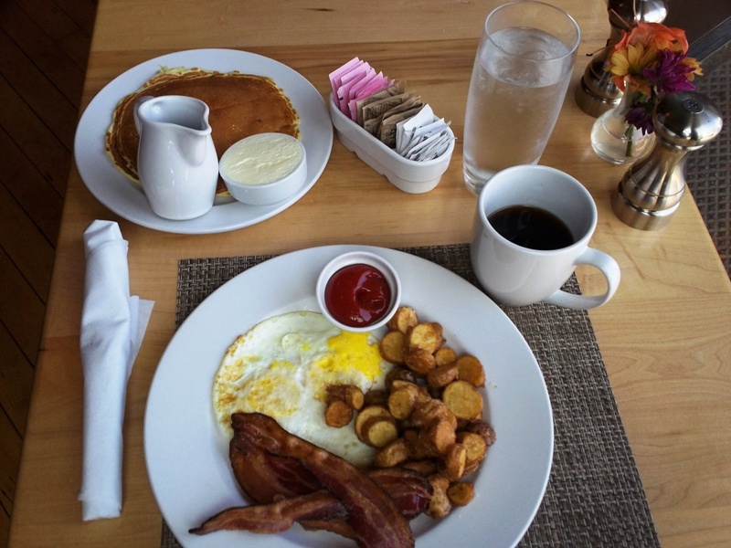
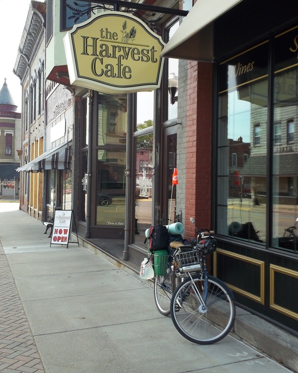
Arrived in Delavan at 1:02 p.m. Made my way through town, stopping at one point to let a long motorcycle caravan pass. Ended up at the only place I saw open serving food: the Harvest Cafe I felt a little out of place after I walked in, but the hostess sat me far away from all the other diners, so things were good. I scanned the menu and decided on “The Cornelius - 2 eggs as you like, home fries, bacon or sausage, pancakes or toast 9”. OK, I’ll confess, it took me a little while to figure out what the “9” meant. (It wasn’t “Breakfast #9”.) I also had “Coffee 2” (total $11.74 + $3.26 tip).
My spot in the place was actually in the very front window area. I could look out and see the outside of the front door and also the rear of my parked bike. While sitting there, I heard a man outside telling the girl he was with, “It’s a Trek . . . Belleville?” They came in to eat, but were seated far away, with the others. I studied my map awhile, and changed my planned route a little, deciding to head north then east, instead of south then east. I’d be missing a railroad bridge I’d wanted to see, but it was getting toward mid-afternoon.
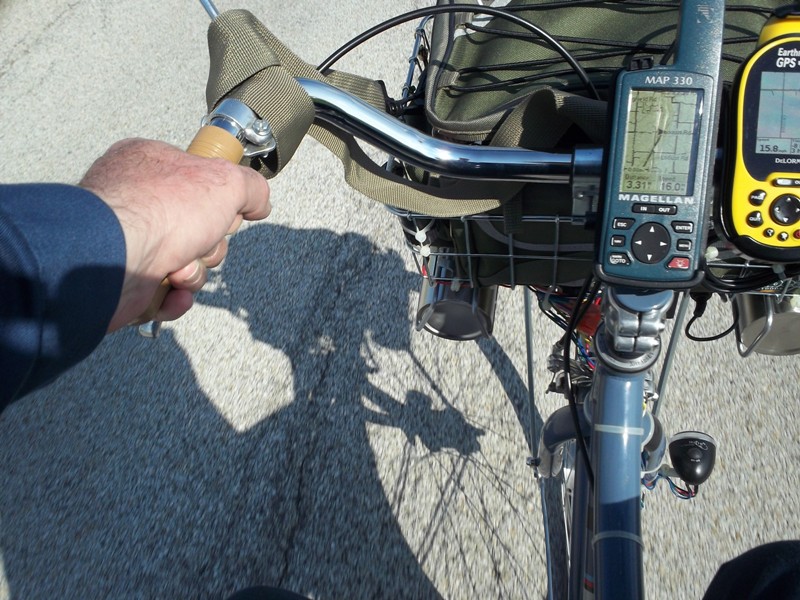
I stopped at a park in Delavan to check the battery voltage. An accurate state of charge can’t be determined this soon after charging, but I wanted to make sure I wasn’t overcharging. The voltage was 12.71 volts. Full charge is 12.70 volts, so I disconnected at the hub. Got on Springfield Road to go north. It was so nice I was tempted to stay with it all the way to the Groveland (near Morton). But I wanted to ride through Hopedale, so turned east at Toboggan Avenue (CR600N). Here’s a practice shot for when I can capture that perfect “shadow picture”.
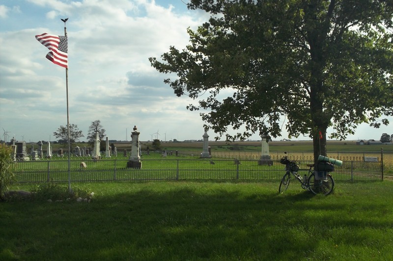
After I’d crossed I-155, I saw a sign that indicated a cemetery to the right. I then remembered that the railroad bridge I wanted to see wasn’t very far from that cemetery. So I turned south, up the gravel road. At the top of the hill was the cemetery entrance, with inviting shade. I spread out there, enjoying a break from 3:23 p.m. to 3:57 p.m.
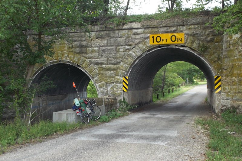
Exiting to the east and a right turn got me to the railroad bridge. It’s a 2 arch bridge - one for the road and the other for a creek - with the railroad track on top. The date on it is 1889. The newer concrete work (that my bike is laying against) had 2007 on it. The funny thing about this is, there’s no railroad track anymore. I walked around to the side, but there was no way to the top without bushwhacking. I could just make out in the farmer’s field behind me where the right of way had been. I’m glad the state considers some things worth saving.
|