Jeff’s Missouri Bicycle Trip Report - 05/21/09
Day 4 - Morning
Thursday, May 21st, 2009 - Destination: Augusta, MO.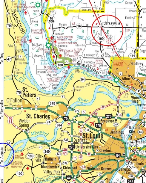
I
was up today at 6:15 a.m., and received a call from the motel manager at 6:45 a.m.
saying I could get my bike from the laundry room, if I wanted to then. When she
heard what I was trying to do, she “blessed” my bike and the trip. I parked the
bike outside and then had breakfast (corn flakes, juice, a bagel, and coffee) in
the sunny breakfast area. The manager knew where the bike shop was (actually
part of a gas station - Medford Express 24), so that helped a lot. 
At 7:53 a.m. I left for the bike shop, which was only 6 blocks
away. They had the correct size tire (a 40 psi maximum Kendra tire tagged
“Sunlite 59111”) and also sold me a spare tube. Back at the motel (8:20 a.m.) I
replaced the front tire but not the tube (since it was new from yesterday) - an
easier job than yesterday, since it involved just the front tire, and the bike
wasn’t loaded yet. I debated on keeping the damaged tire as an emergency spare,
but in the end tossed it in the dumpster, after checking with the motel manager
about any known bike tire disposal regulations. At 9:30 a.m. I was on my
way. 
Since I couldn’t take the ferries across the rivers, The Clark
Bridge in Alton was my destination. The scenery was pretty much the same as the
past days, until I got to the bluff above Elsah. I’m sure I went faster downhill
here than anywhere else on the trip. I was relying on the PN-20 to tell me how
fast (Maximum Speed readout), but it registered 111 mph - I don’t think so!
(Later GPS data analysis indicated 33.4 mph.) Elsah had an old, quiet,
slow pace, out of the way feel. 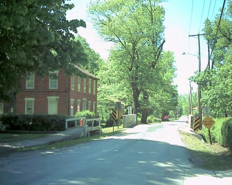

In town I
was going slow enough that a local resident stopped me to talk. Referring to my
Illinois highway map, we discussed ways to cross the river. A little ways
farther I was near Highway 100, next to the river. There were some flood waters
around. 
I had to ask
another resident, who was tending a community yard waste burn pile, where
exactly the Vadalabene Bicycle Trail was that would take me to Alton. She said it was just up on the highway there. And so it was. 
I
was in the shade of the trees a lot of the time, as were the flowers. 
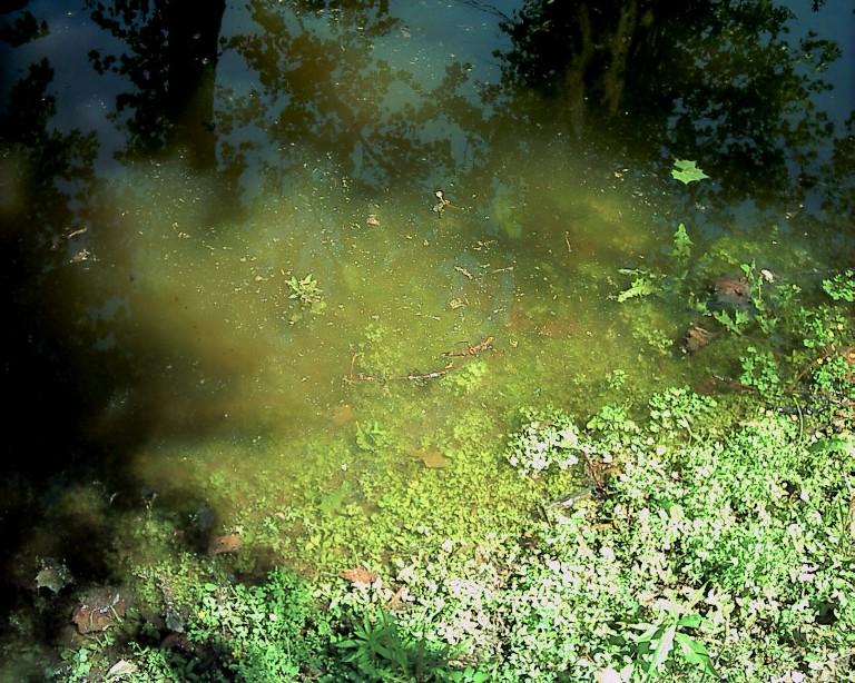
I
was four miles down the trail before I realized that I was on the wrong side of
the highway - there was another shoulder on the other side for bikes going
south! I crossed over in time to go 3,000 feet before the south and north lanes
joined together on the north side of the road, since the trail was leaving the
highway. This power plant appeared to be on the Missouri side. So I kept my
eye on it. 
There were some impressive cliffs along the way, as well as
places to stop for a break. 


Finally, Alton and the Clark Bridge. 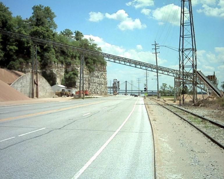
I was hoping to
find a place to eat that wasn’t too far out of the way. I hadn’t seen anything
and started focusing on how to get on the bridge when I saw a KFC, and thought,
“buffet!” I parked my bike against one of their outdoor tables at 1:25 p.m..
Previous Installment Next Installment
| 